

Smarter Drones for Smarter Industries
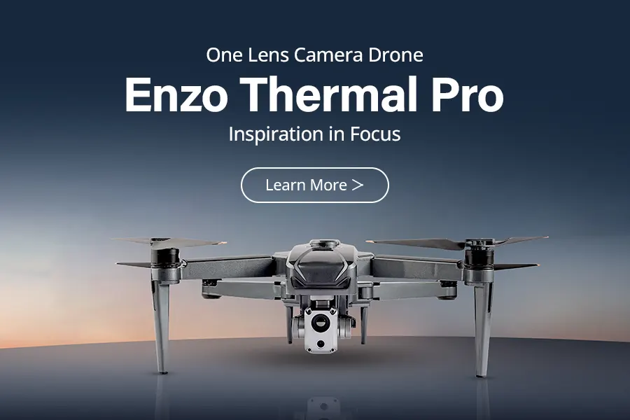
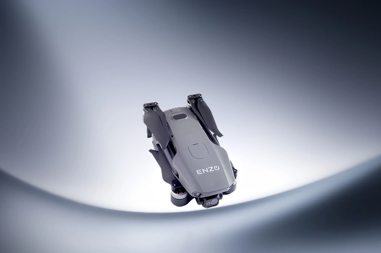
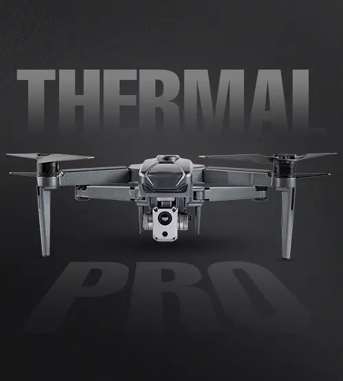
Enzo Thermal Pro
Enzo Thermal Pro
The ENZO Thermal Pro is an industrial-grade drone designed for precision, durability, and
advanced
data collection. Built for professionals, it integrates RTK centimeter-level accuracy. Its rugged design supports
operations in extreme temperatures, making it ideal for critical tasks like infrastructure
inspections, thermal mapping, and emergency response.


Thermal Drone 10 color options

Thermal Drone Camera ½” CMOS (48MP)

Thermal Drone in india Camera Quality 48MP visual + 640x512 thermal
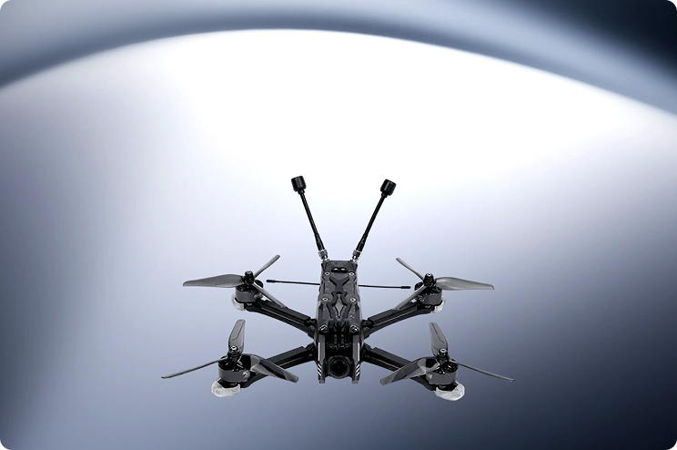
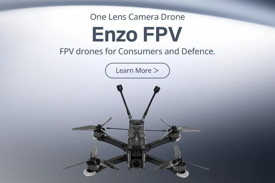
Enzo FPV
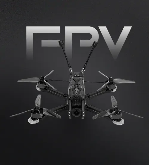
Enzo FPV
The ENZO FPV is a high-performance industrial drone engineered for precision, adaptability, and
mission-critical operations. Designed for extreme conditions (-10°C to 40°C), it combines agile
maneuverability with a high payload capacity, excelling in aerial inspections, surveillance, and
rapid delivery. With multiple flight modes, it seamlessly transitions from stable hovering for
detailed inspections to high-speed coverage of large areas. Its advanced navigation systems
ensure safe, reliable operation in demanding environments, from icy terrains to arid zones.

Enzo FPV indian drone with flight time 26 minutes.

FPV indian manufacturer drone with covrage area of 10 km.

Top speed of Enzo FPV drone 110 km/h.
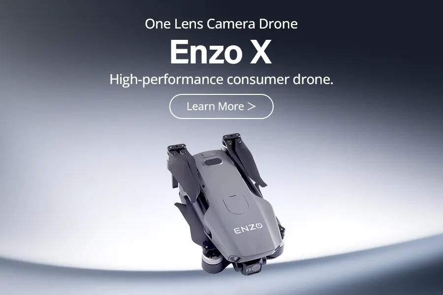
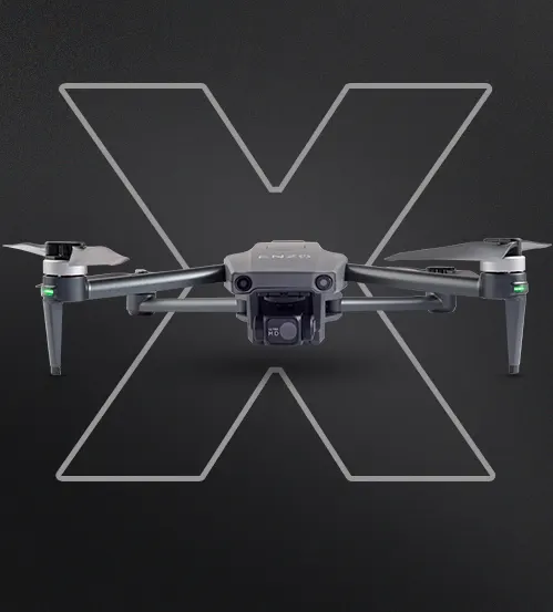
Enzo X
Enzo X
The ENZO X is a high-performance industrial drone engineered for precision,
adaptability, and mission-critical operations. Featuring a built-in Android
controller with an integrated display, it enables seamless real-time control
and data analysis without external devices. Advanced route planning and
mapping ensure efficient coverage of large or complex terrains, making it
ideal for infrastructure inspections, agricultural surveys, and disaster response.
Designed for endurance, it supports extended missions and wide-area
operations, providing professionals in logistics, public safety, and
environmental monitoring with a reliable aerial solution.

Enzo X Indian drone with flight time 40 minutes

Enzo X drone having special feature of Dropping mechanism.

Enzo X india drone has sensor of 360° obstacle avoiding.
Industry Applications
Precision Solutions for Every Sector
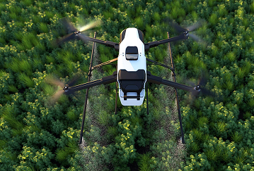
Agriculture
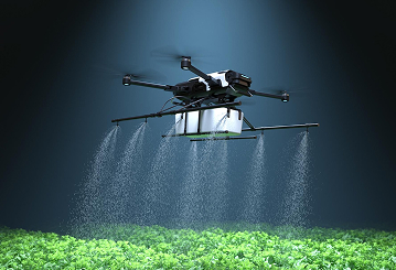
- Crop Health Monitoring: Thermal and multispectral imaging for disease, irrigation, and nutrient analysis.
- Precision Spraying: Targeted pesticide and fertilizer application for optimized yield.
Surveying & Mapping
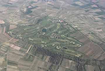
- Topographic Mapping: RTK-enabled drones for high-precision land surveys.
- 3D Modeling: High-resolution imaging for construction and urban planning.
Industrial Inspection
- Infrastructure Monitoring: Thermal imaging to detect faults in pipelines, power lines, and solar panels.
- Asset Inspection: Safe assessment of towers, refineries, and chimneys.
Emergency Response & Disaster Management
- Search & Rescue: Thermal cameras for locating survivors in low-visibility conditions.
- Damage Assessment: Rapid aerial surveys for disaster relief planning.
Oil & Gas
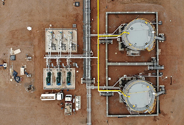
- Pipeline Surveillance: Long-range monitoring for leaks, corrosion, and intrusions.
- Gas Emission Detection: Sensors for identifying hazardous leaks in remote sites.
Defense
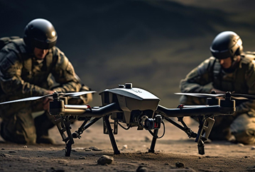
- Border Surveillance: High-speed, long-range drones for real-time reconnaissance.
- Logistics Support: Secure payload transport to remote or hostile areas.
Environmental Monitoring
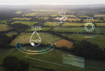
- Pollution Analysis: Aerial sampling for air and water quality assessments.
- Climate Change Tracking: Monitoring temperature, vegetation shifts, and glacier movements.
Mining
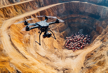
- Stockpile Measurement: Drone-based LiDAR for precise resource estimation.
- Blast Site Analysis: Pre- and post-blast terrain assessments for safety compliance.
Additional Applications
Traffic Control
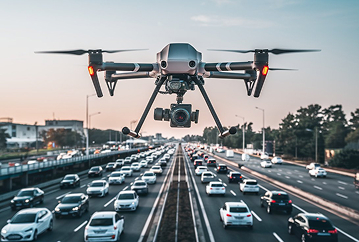
- Real-time aerial monitoring for congestion and accidents.
- Route optimization and incident response support.
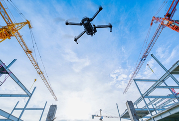
Construction
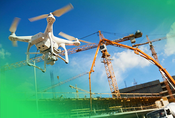
- High-resolution site mapping and progress tracking.
- Structural inspections to ensure safety and compliance.
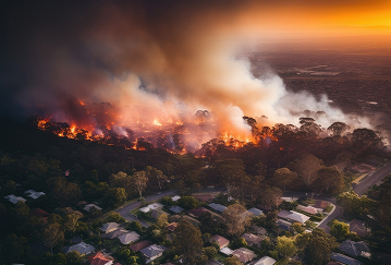
Firefighting
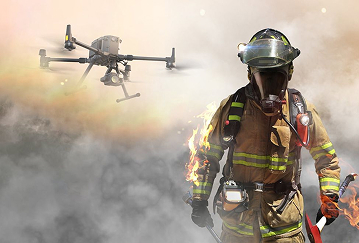
- Thermal imaging for hotspot detection and fire spread analysis.
- Aerial support for resource deployment and situational awareness.
Public Safety
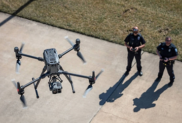
- Crowd monitoring for event security and emergency response.
- Aerial surveillance for law enforcement and search operations.
Utility & Power
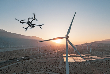
- Inspection of power lines, substations, and wind farms.
- Early fault detection to prevent outages and failures.
Forest Management
- Deforestation tracking and illegal activity detection.
- Forest fire detection and prevention.
About Us
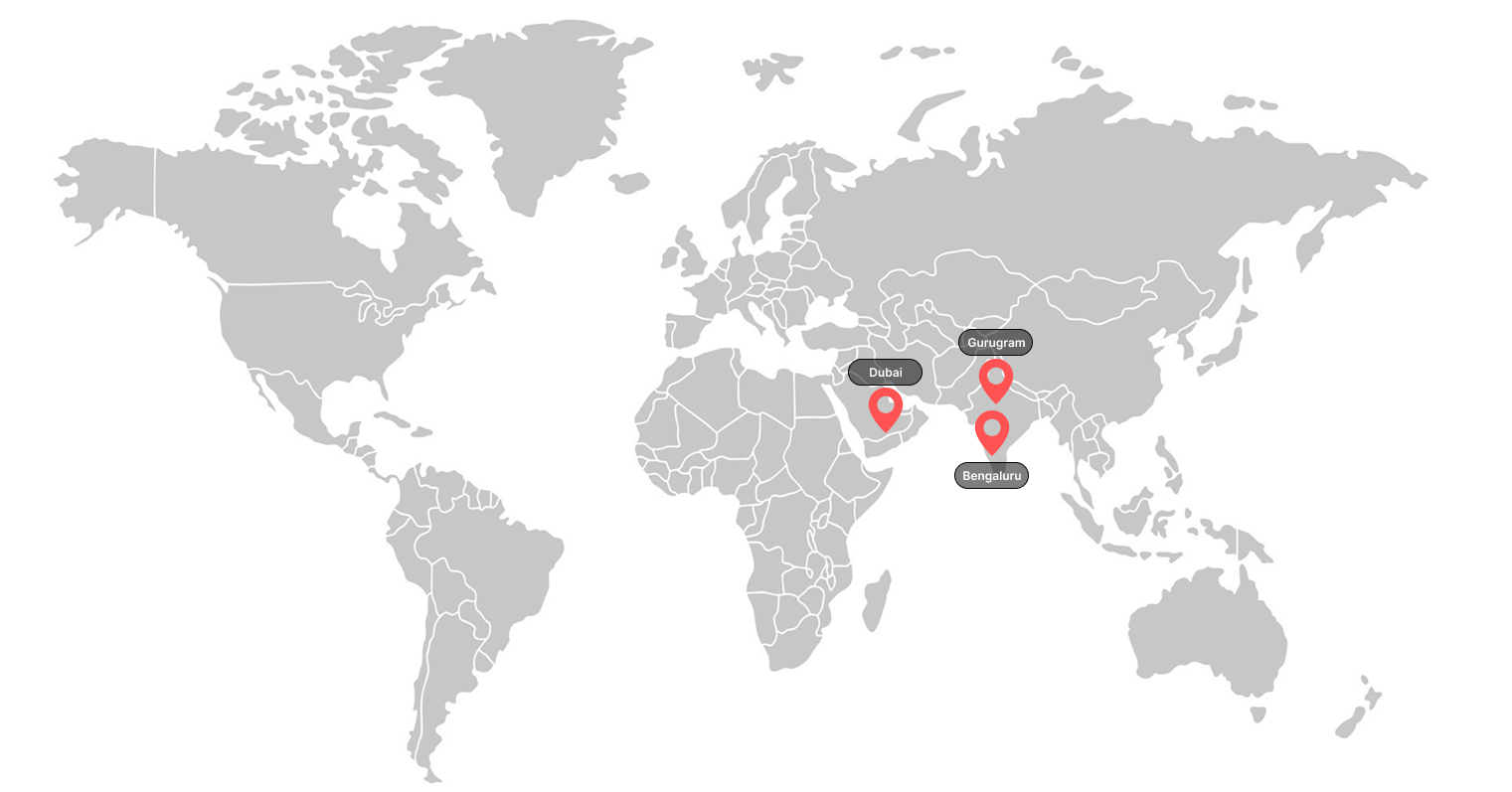
Enzo Robotics is a leading drone technology company dedicated to making UAV solutions smarter, more efficient, and affordable. We help businesses and individuals unlock the full potential of aerial technology with cutting-edge innovation. More than just a drone company, Enzo is a community where enthusiasts and professionals connect, learn, and grow through events, training, and education. Our mission is to make aerial exploration easy, accessible, and impactful for everyone.
Start A Conversation With Enzo Leading Drone Manufacturer
Our availability
Our Accreditations and Affiliations