Thermal drones are more than just flying cameras — they’re powerful tools that are transforming how industries monitor, detect, and protect. At Enzo, we are pushing this technology further, combining smart engineering with real-world problem-solving. So let’s break down how thermal drones work and why they matter, in a way that’s easy to understand.
Why Thermal Drones Are Gaining Ground
From forest patrols to military surveillance to precision farming, thermal drones have become an essential asset across sectors.
- In forestry, they help track endangered wildlife without disturbing their habitat.
- In defense, they’re used to locate heat signatures — such as hidden enemies or underground movements — even in pitch-black environments.
- In agriculture, farmers use them to monitor livestock at night and detect crop stress early using heat variations.
Thermal drones are gaining popularity because they get the job done faster, safer, and more accurately than most traditional methods.
The Science Behind Thermal Imaging
Everything around us gives off heat from a human body to a rock under the sun. This energy is emitted as infrared radiation (IR), a type of light we cannot see with our naked eyes.
Thermal cameras can detect this IR energy and convert it into visible images using a process called thermal mapping. Warmer objects show up in brighter colors, while cooler ones appear darker.
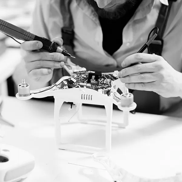
How Thermal Cameras Actually Work
-
Lens Collection – Special lenses collect infrared radiation from the surroundings.
-
Sensor Detection – This energy is sent to a sensor called a microbolometer it does not need any special cooling and is lightweight, which is perfect for drones.
-
Image Processing – The data is then processed into a thermal image that shows heat variations clearly on a screen.
This technology allows drones to "see heat" even in zero visibility, fog, smoke, or darkness don’t stand a chance.
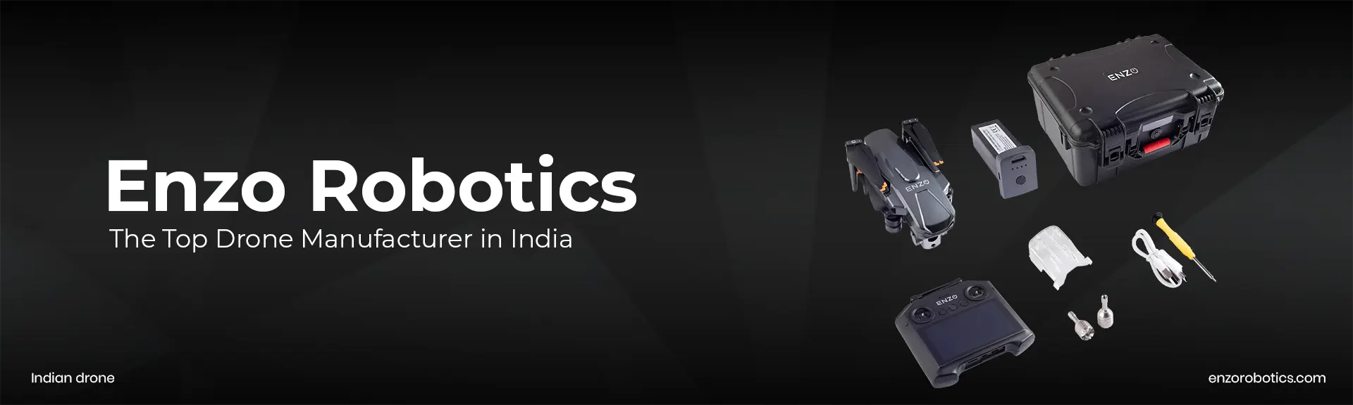
Thermal Camera Integration in Enzo Drones
Enzo offers two flexible approaches when it comes to thermal imaging:
-
Built-in Cameras – These are seamlessly integrated into the drone’s system. They are factory-calibrated, compact, and ready to fly straight out of the box great for fast deployments.
-
Modular Payloads – This setup allows users to attach and swap different thermal cameras depending on mission needs. It is perfect for professionals who need more control and customization.
To ensure smooth and steady footage, Enzo’s drones come with 3-axis gimbals that stabilize the camera during flight. This reduces motion blur and ensures high-quality thermal readings, even in windy conditions.
How Enzo’s Thermal Drones Operate in the Field
Smart Flight Control
Our drones are equipped with GPS autopilot systems, allowing pre-planned flight routes for large-area inspections. Whether you are surveying a solar farm or a forest patch, the drone follows its path with pinpoint accuracy.
For spot inspections, pilots can manually control the drone and adjust angles in real time, ideal for zooming in on specific heat anomalies.
Real-Time Obstacle Detection
Navigating around buildings, trees, or power lines, Enzo drones come with intelligent obstacle avoidance features, helping reduce crash risks and letting pilots focus more on data capture than manual navigation.
Geo-Tagged Data Collection
As the drone flies, it captures thermal data embedded with GPS location, altitude, and timestamps. This geo-tagged data is crucial for later analysis and report generation.
Post-Flight – From Data to Insight
Raw thermal images are only half the story. Enzo uses advanced software to turn that data into actionable insights –
- Highlight temperature anomalies
- Overlay thermal data on standard maps
- Compare readings over time to track changes
- Generate reports for compliance or maintenance
This is where the real value comes in especially for teams handling inspections, security, or large-scale operations.
Choosing the Right Thermal Payload – What to Know
When customizing or upgrading your thermal drone, here are key specs to consider –
- Field of View (FOV) – A wider view helps scan larger areas faster, essential for farming and search & rescue.
- IP Rating – Want to fly in rain or dust? Look for at least an IP67 rating to ensure durability.
- Thermal Sensitivity (NEDT) – The lower the NEDT, the better the camera can detect subtle temperature changes critical for spotting early electrical faults or minor structural issues.
- Spectral Band – Depending on your use case, choose a sensor that works within the right IR wavelength range.
- Resolution – Higher resolution means better detail, especially important for professional-grade inspections.
Why Enzo’s Thermal Drones Stand Out
Unlike many other manufacturers, Enzo builds for precision and performance, not just specs on paper. We have invested in R&D, made our tech affordable, and engineered drones that can handle real-world challenges from disaster zones to remote farmlands.
So whether you are a government agency, a farmer, or a startup doing critical inspections Enzo’s thermal drone technology gives you the edge.
Want to Know More About Enzo Drones?
How Drone Usage is Evolving in the USA and Arab Countries - A Game-Changer for Businesses
Changing the Drone Game in India
Enzo FPV Drone I Best Indian Drone I Enzo Robotics